|
On the first day of the archaeological field school being held at a site near the Broad River we arrived at the site at around 10:00 in the morning. On first observation there was a profile cut into a rise in the woods by a bulldozer in an attempt to collect sand. The wall was covered by a tarp and when the tarp was lifted to show us the profile there were several flags for artifacts spotted within the wall and also a fire pit that could clearly be distinguished. After we were taken around the entire site we got to work laying out what will later become the excavations. The class broke into teams of three and set about bolting together large sifting screens. Once we were finished with the sifting screens we got started clearing the upper portion of the site from brush and trees, mostly using rakes. While we were raking away the brush I found a small snake and picked it up to get it out of the way; everyone was enthralled by the snake and we proceeded to take a great deal of pictures. 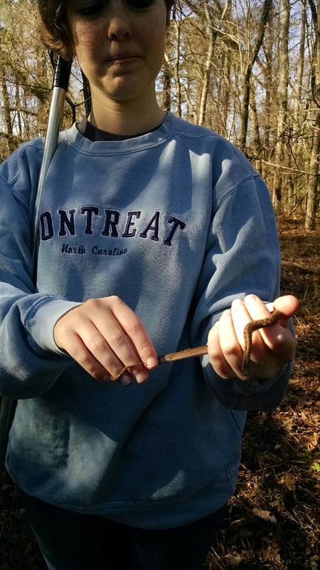 When we were finished clearing the brush away from the majority of the upper part of the site we broke for lunch.
After lunch we split into two groups; one that went to the upper portion of the site, on top of the profile wall, and one that went to the lower portion. I was with the group that was assigned to the top of the site. Once we were all grouped together, Dr. White showed us two permanent datum points which were at the positions of 1000 north/995 east and 994 north/995 east on the site grid (an arbitrary grid used to control excavations). These datum points, along with the ones at the bottom of the profile wall, will serve as the means to orient and map the entire site for the duration of the excavations there. We were given four other data points meant to form a 4-meter by 4-meter square that will serve as the starting points for our later units, or particular spaces that we excavate. In order to plot those points, we had to use the Pythagorean Theorem. We set up a point along the original line between the two datums and used it to calculate the hypotenuse of the triangle that these two points would form with the first point of the new square. We used this method in order to plot the most accurate points possible so that the excavation units would be oriented correctly and scientifically. From our first correct point (which took a great number of tries to place accurately), we calculated the other points in our square. We got the points wrong more often than we got them right but after quite a few tries we were able to put the nails where they were supposed to go and then to check them. Once our 4 x 4 square was finished, we used string to outline it and then put nails two meters along the lines of the square, connecting them in a cross to make the two by two squares that we will actually be excavating. That part was a lot easier than using math to find the original square. I can honestly say that this will probably be the only time that high-school geometry is directly relevant to my life. Meanwhile, while we were fighting with loose soil and wobbly nails, the group below the profile wall was setting up a 1-meter by 2-meter rectangle for their unit. Once we were all finished with our units we did some more brush clearing and tree cutting to move things away from the dig proper and to make room for the screens to be placed near all of the units. During the brush clearing we all also went to get our trowels sharpened to prepare for the actual digging that’s going to happen later. The last thing we did before leaving the site for the day was practice making site maps with our footsteps as a measuring tool. We walked all over the site and each group came up with their own labeled map. We left the site at around 3:00 for the day and will return to do more work in the field on Friday.
0 Comments
Leave a Reply. |
Student Blog (2017)Blog posts written by the students of the 2017 Broad River Archaeological Field School Archives
April 2017
Categories
All
|
 RSS Feed
