|
When we pulled into the Broad River site and started unloading our belongings, I noticed a feeling of routine. We were getting to know the class and each other better, and I think everyone is getting more and more comfortable with the idea of getting up at the crack of dawn to scrape in the dirt. I returned with Jim Legg to the “downstairs” portion of the site to continue assisting him in digging out the profile wall. The site’s "upstairs" and "downstairs" are divided by a curved wall, scooped out of the earth by a backhoe, revealing a number of layers and archaeological features. Jim’s job is to flatten this wall systematically and according to the arbitrary grid to create a visual representation of the site’s geologic and archaeological past. I had the privilege last week of helping (and watching) Jim magically carve a perfectly flat wall from a curved mess. 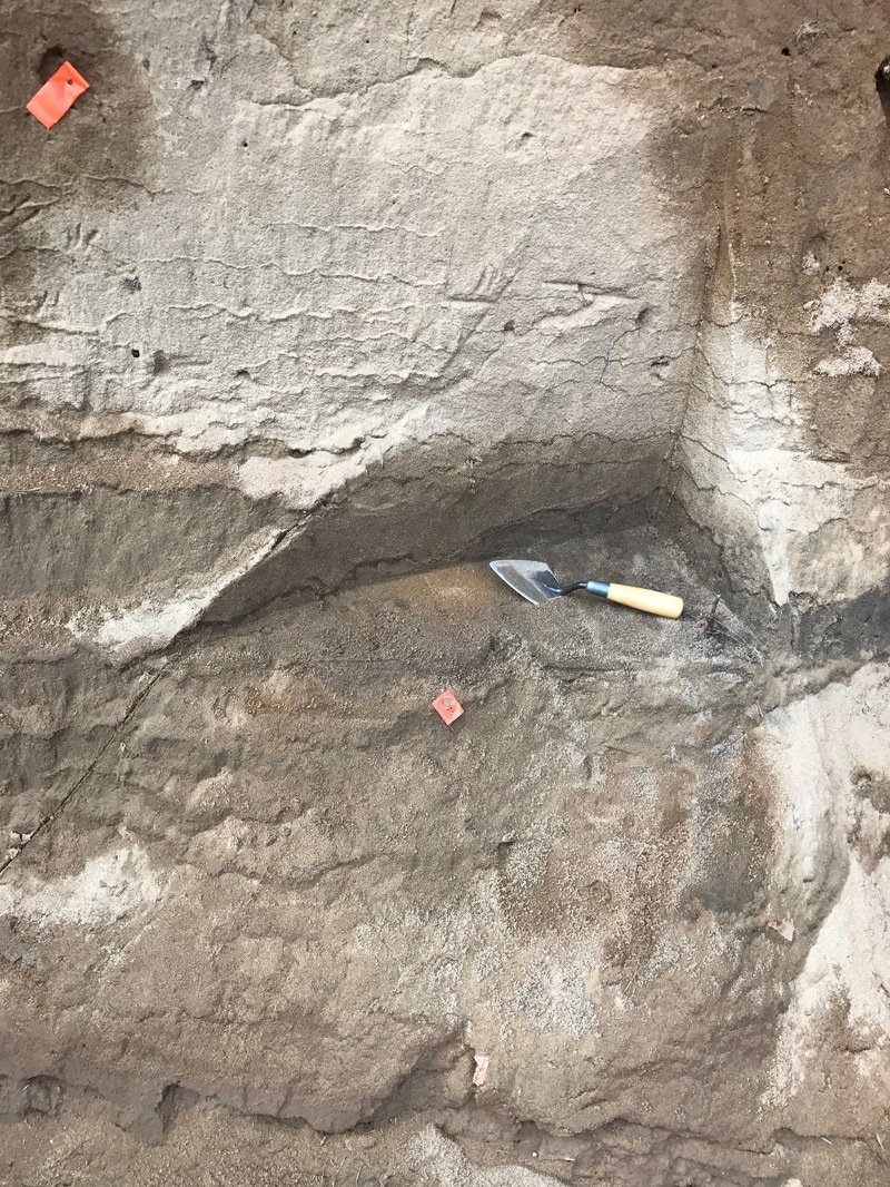 Excavation of Unit 8 in progress. This photo shows the northwest corner of the unit as it cuts into the irregular wall created by the mechanical excavation. Jim finished digging the first unit (Unit 8), but still had one meter deeper to cut before becoming flush with the exiting profile (created by Units 1 and 2). While he filled out paperwork, I assisted Dr. White in mapping out the two extreme points of the profile line, so we knew where to dig. I held a mirror while Dr. White shot lasers from a stationary point. When the beam reflected back to the computer, Dr. White got a reading of the mirror’s location and instructed me where to move so we could locate the exact point in space where we wanted to place the nail. Once the profile line was set up, we returned to the dirt. There was some overhang from the upper layers held together by grass and tree roots that we needed to knock down before we dug deeper into the wall so as to avoid a possible cave-in of loose sand. Soon after starting this exercise, we broke for lunch. I ate at the table in the barn with the rest of the class but broke off towards the end to explore. I walked across the gravel road and into the field which was once (possibly) an ancient bed of the Broad River, long ago diverted and now a field of grass and clovers. I sat on the ground and watched stratus clouds whisp over a backdrop of lush green and bright blue skies. Frogs from a near by creek hollered endlessly. The site is a very peaceful place to be, and one of my favorite things about fieldwork so far is being outside in such a beautiful, remote location. 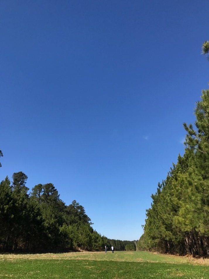 When I returned to the wall, Jim explained what we were looking for as we dug out more and more sediment. The top layer of lighter sand was called a “plowzone.” This simply meant that people had farmed this land and plowed the fields at some point in recent history. As we neared the bottom of the plow zone, we kept an eye out for what’s called plow scars. Once the very top of the sub-plow sediment layer is visible, lines of lighter upper sediment will be visible. Basically, whenever the deepest gouge of the plow reached this layer, it moved the lighter dirt from above into this “scar,” clearly confirming that this top layer was in fact a plowzone.
Once we spotted an indication of plow scarring, Jim set out to clean up the edges of the wall so Dr. White could photograph the scars, and I moved to the four units where the rest of the class was digging. I had been helping Jim for most of the time that we had shovels in the earth (mostly manning the screen and paperwork), so I was eager to get my trowel dirty. My group was finishing up a layer, creeping closer to the edge walls and scraping the floor flat. Maybe two full days of watching Jim Legg ninja 90 degree angles out of wonky slopes rubbed off on me, because when I took my first slice at the wall I noticed how natural it felt. I started carving away and tossing dirt into a bucket for screening, but before we could finish the layer it was quitting time. I can’t wait to return next week and really get my hands dirty in these units. Here’s hoping it doesn’t rain!
0 Comments
Leave a Reply. |
Student Blog (2017)Blog posts written by the students of the 2017 Broad River Archaeological Field School Archives
April 2017
Categories
All
|
 RSS Feed
