|
After spending last week clearing the site, we began learning how to begin excavation. Professor White explained the paperwork needed and the proper way to bag anything we find in the field. We were broken into groups and assigned a unit. Within the unit, we were instructed to begin working on a 1 meter by 1 meter quadrant in this unit. Professor White had set up an elevation datum, and we were instructed to bring this square down to 40 cm below that point. Our square’s starting elevation varied between 30 cm and 33 cm. After marking our square, we used shovels to break ground. Grass and roots made this work difficult. Anything that was removed from the square was placed into a large bucket to be screened. Plywood was placed at the edges of the excavation sites to help protect the walls. The walls are fragile and could crumble if stepped on. 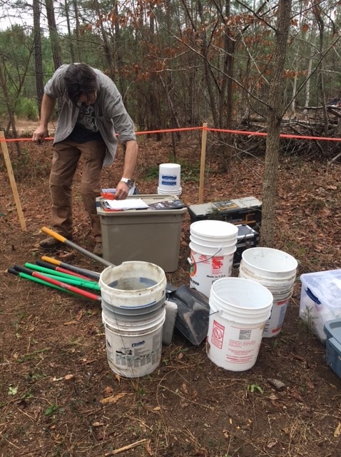 Professor White explains paperwork. 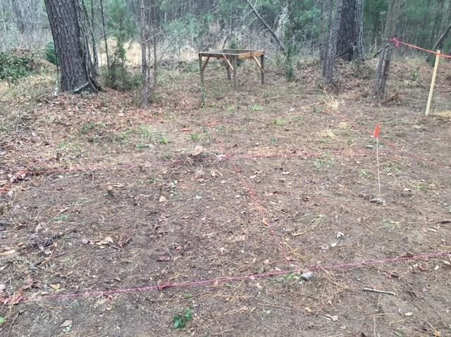 2m x 2m units before excavation. Unit 5 is in the bottom left corner. Our group found it easier to rotate between shoveling, measuring, and screening. The thickest root in our square was approximately 2 cm, and slowed us down quite a bit. We checked frequently to see if the floor of our square was at 40 cm, and then attempted to flatten it as best we could when we were at the proper level. When this square was completed, we started work on the northern adjacent square. This square was not completed by the end of the day. There is a large stump in the unit north of this square, and another on the west side. These meant very large roots that were too large to be removed with hedge trimmers. However, small roots could be just as troublesome at this level. 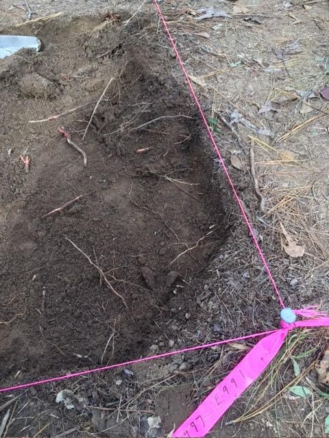 Roots in the shallow soil. A balk is left around the corner nail to give it stability. 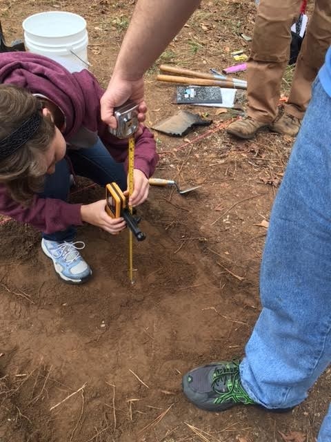 Sam C. and Shane measure the elevation with a laser level and measuring tape. Sifting the dirt that was removed from the square may have been the most calming job on the field site. We were instructed to keep anything that was not organic. We found several rocks and placed them in a pre-labeled field specimen bag. Our northeastern square also contained a modern rusted metal object of some sort near the area of the large stump. Most of what was screened out was organic material, roots and leaves, because we are working so close to the surface. 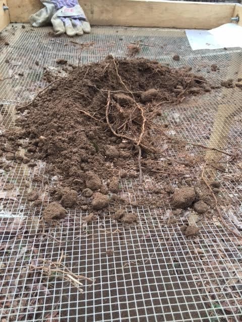 ¼” mesh screen used to sift the buckets of dirt that came out of the squares. 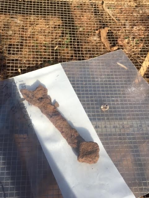 Rusted metal object found in Level 1 of Unit 5. Paperwork was done to go along with all of this. Each 1m x 1m square was assigned its own form. We record things like starting and ending elevation of the four corners and the center,, a map of the floor, and a detailed description of the soil. These forms are important for tracking everything that comes out of the ground, and even the soil itself. This is necessary because this work can never be done again: when the soil is removed, it can never be put back. These records will be vital to future scientists learning about the site long after the work has been done. 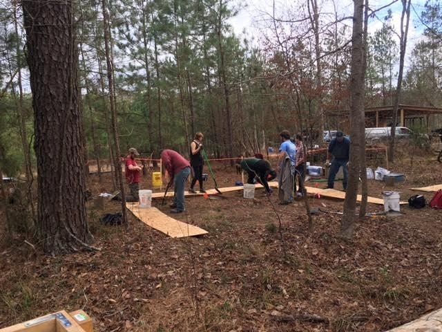 Work in progress on three of the four 2m x 2m units. 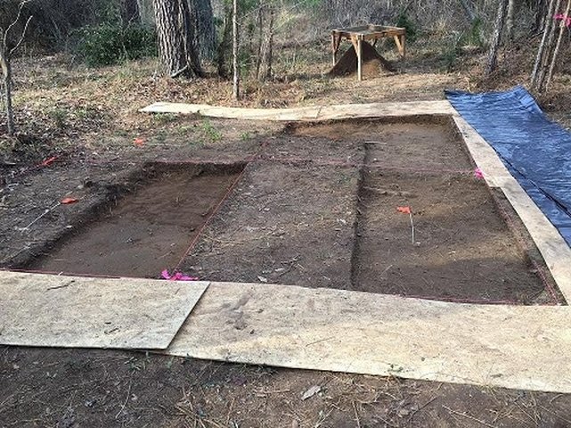 The end result of the day’s work. When we're not working, the area is covered with plastic to give it some protection.
0 Comments
Leave a Reply. |
Student Blog (2017)Blog posts written by the students of the 2017 Broad River Archaeological Field School Archives
April 2017
Categories
All
|
 RSS Feed
